How have Arctic sea ice levels changed over time?
What is sea ice? Why is it important? This NASA article had great answers to both questions:
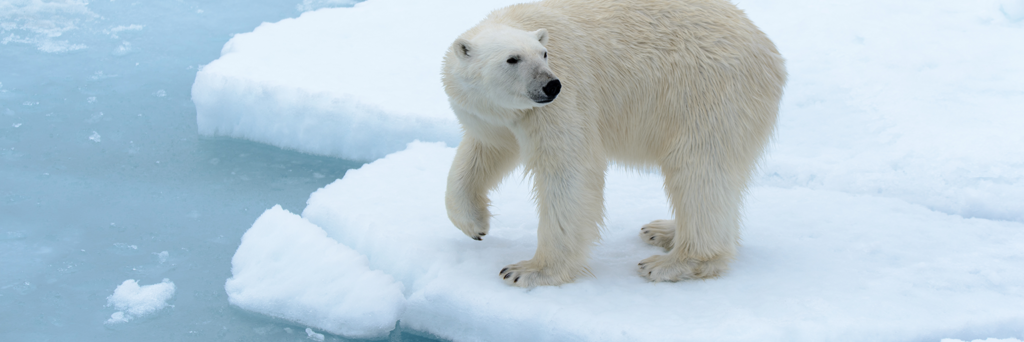
“Sea ice is a frozen seawater that floats on the ocean surface. It forms in both the Arctic and the Antarctic in each hemisphere’s winter. This floating ice has a profound influence on the polar environment, influencing ocean circulation, weather, and regional climate.”
We wondered how we could use data science to see how Arctic sea ice levels have changed over time.
To answer our question we:
- Gathered sea ice data from NASA*.
- Created a scatter plot with a line of best fit. The line of best fit shows trends in the data. The scatterplot we made is called a data visualization.
*Note: we chose NASA data and explanations because the information is from a credible scientific source.
Reflect on what you see
Look and interact with the scatterplot above. When you mouse-over the scatterplot you’ll notice more information appears.
Think about the following questions:
- What do you notice about the scatterplot ?
- What do you wonder about the data?
Use the fill-in-the-blank prompts to summarize your thoughts:
- “I used to think_______”
- “Now I think_______”
- “I wish I knew more about_______”
- “These data visualizations remind me of _______”
Learn how we visualized the data
Go to our walk-through (in Jupyter notebook format) to see how we used the data science process (formulating a question, gathering the data, analyzing the data with code, and creating the visualizations) to create the scatterplot.